The Federal Highway Administration encourages the use of 3D technology to create efficiency and cost savings throughout the construction process.
3D Modeling
3D design uses global positioning system (GPS) and LiDAR (Light Detection and Ranging) scanning survey or local positioning systems (LPS) to build 3D horizontal and vertical representations of existing conditions into an integrated digital model.
By using 3D design modeling software, designers, engineers, contractors and other project stakeholders can virtually connect to visualize project concepts as well as develop, test and revise designs throughout the design and construction phases. When one aspect of a design is changed it is immediately reflected and changes all connected aspects of the project, streamlining analysis of project alternatives.
3D design models allow projects to be delivered with more complete design information prior to, and during construction, than traditional 2D deliverables. On a roadway project, this provides more information about drainage, pavement elevation, pavement slope and transitions for utilities or other structures. Additional detail helps identify design issues during the design process as well as providing more accurate quantification of material volumes. This reduces uncertainties and risk creating fewer change orders, conflicts and delays.
To Learn More About Automated Machine Guidance


Existing Surface

Design Surface
3D Systems
There are a variety of systems which allow for 3D modeling and machine control. Most commonly are LPS or a combination GPS/LiDAR scanning point cloud system.
- LPS (Local Positioning System)
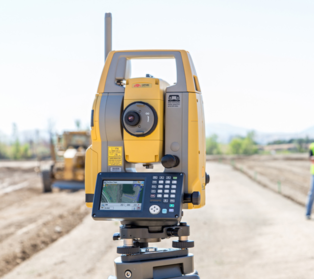
An LPS uses a physical connection in order to make corrections to positional data. These systems include total station or millimeter GPS.
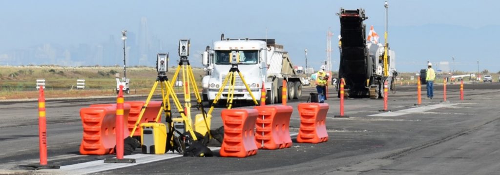
LPS is the most accurate measurement, grade checking and machine control technology available because it uses line of sight to a fixed controlled point for referencing for grades and machine positioning. However, it requires a large amount of set up time, man hours, and careful planning when generating 3D models and choosing/setting up control points. It also requires traffic control to record existing surface data.


- GPS/LiDAR (Global Positioning Systems/ Light Detection and Ranging) Scanning
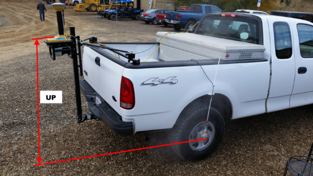
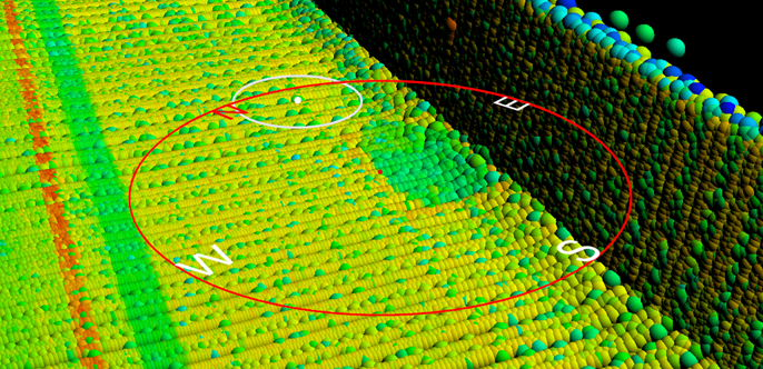
GPS and a truck mounted LiDAR scanner are used to collect millions of points to generate a point cloud and create a 3D scan and visual of the entire surface. These points use GPS for horizontal position and relative reference for vertical position data across the entire scanned surface. The scanning can be conducted in live traffic. No traffic control is required, making it ideal for rehabilitation projects.
-
Once the data has been collected, a 3D design model referencing the existing surface can be created for optimal final surface results. The model can then be used for 3D machine control to ensure the design is constructed with precise accuracy using relative depth referencing as an alternative to elevation. A single model cannot be used for multiple lifts. A new model is required for each lift surface or if the scanned surface has changed significantly.


